Project notes / ArcGIS StoryMaps
ArcGIS StoryMaps Experience
This portfolio entry highlights my ArcGIS experience through two StoryMaps that combine spatial analysis, thematic cartography, and narrative design. The projects show how I use ArcGIS Online and StoryMaps to organize geographic datasets, frame research questions, build map-driven explanations, and communicate technical findings in a way that is interactive, polished, and easy to explore.
Interactive maps
Explore the workHealth, Fire, Climate
Artifact: Mapping Our Power
A closer look.
Project media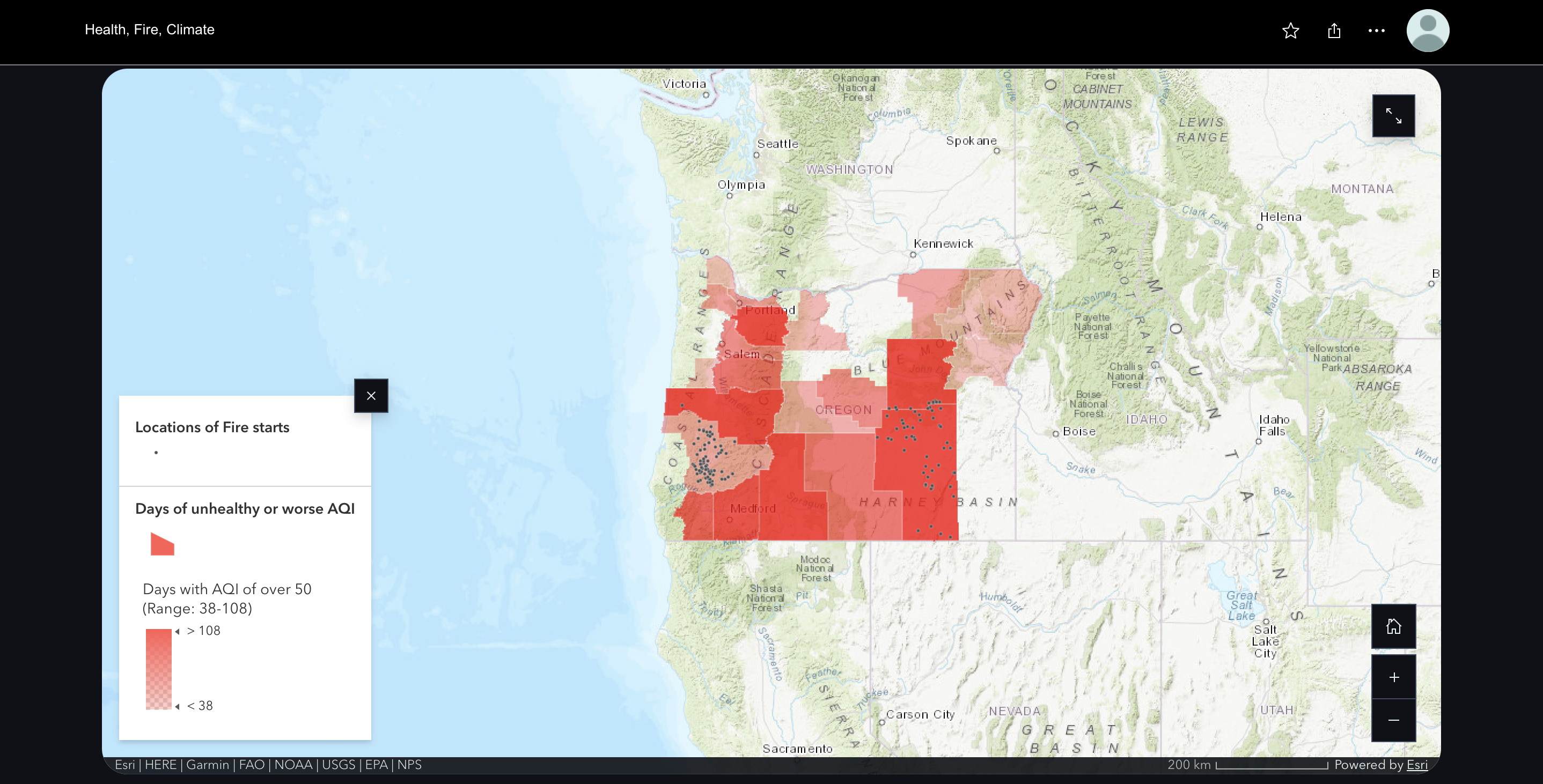
Keep exploring